Apolobamba Integrated Management Natural Area

Discover the Apolobamba Integrated Management Natural Area (in Spanish: Área Natural de Manejo Integrado Apolobamba), a must-visit destination for nature and adventure enthusiasts. In this guide, we will take you on a virtual journey through this biodiversity paradise and provide you with all the information you need for a comprehensive visit, acquainting you with its fauna, flora, the main tourist attractions, and the highly recommended activities that can be carried out within it.

Introduction to the Apolobamba Integrated Management Natural Area

Apolobamba Integrated Management Natural Area

Geographical Location

Situated to the west of the La Paz department in Bolivia, the Apolobamba Integrated Management Natural Area extends across several provinces, including Bautista Saavedra, Franz Tamayo, and Larecaja. The municipalities that are part of this protected area are Curva, Charazani, Pelechuco, and Mapiri. This privileged location in the Andean region of Bolivia grants it a unique diversity of landscapes and ecosystems, making it an appealing destination for nature and adventure enthusiasts.

Geographic Coordinates

The geographic coordinates for its location on maps and GPS are as follows:

  • Latitude South: From 14° 41’3.46″ to 15° 21’36.597″
  • Longitude West: From 69° 21’47.59″ to 68° 03’11.046″

These coordinates roughly define the geographical extent of the protected area, covering a vast portion of the La Paz department in Bolivia, including the provinces of Bautista Saavedra, Franz Tamayo, and Larecaja, as well as the municipalities of Curva, Charazani, Pelechuco, and Mapiri.

History and Establishment of the Park

Created on January 7, 1972, under Supreme Decree N° 10070, the Apolobamba National Park or Integrated Management Natural Area was initially established as the Ulla Ulla National Fauna Reserve. Later, recognizing its importance, UNESCO designated it as a Biosphere Reserve in 1977.

On January 14, 2000, through Supreme Decree N° 25652, the park was reclassified, renamed, and redefined as an Integrated Management Natural Area.

In addition to safeguarding rich biodiversity, the Apolobamba Integrated Management Natural Area is also home to the Kallawaya culture, whose ancestral traditions and knowledge have been recognized by UNESCO as a Masterpiece of the Oral and Intangible Heritage of Humanity in 2003. This indigenous community is an integral part of the park’s identity and has lived in harmony with nature for centuries.

The Apolobamba Natural Area is a treasure trove of nature and culture, with a history full of recognition and protection, making it a dream destination for adventure and conservation enthusiasts.

Creation Objectives

It was established with a set of clear and ambitious objectives:

  1. Conservation and Sustainable Development: The main objective is to achieve compatibility between the conservation of local ecosystems and the sustainable development of the population residing in the area. The aim is to protect natural resources and encourage their sustainable use to improve the quality of life for local communities that traditionally depend on these resources.
  2. Preservation of Ecosystems and Species: The goal is to ensure the persistence of representative high Andean ecosystems, which are in an almost pristine state, along with essential ecological processes. This will contribute to the maintenance of representative species in the region, especially those prioritized for conservation, including threatened, restricted-range, and endemic species, as well as genetic resources.
  3. Safeguarding Cultural Heritage: In addition to nature conservation, the area aims to preserve the cultural heritage present in the region. Efforts are focused on reviving traditional techniques and systems for resource use, thus promoting the preservation of local culture.
  4. Promotion of Scientific Research: Scientific research on high Andean ecosystems, flora and fauna, as well as socio-economic, historical, and cultural aspects of the region, is encouraged. This research will contribute to a better understanding of the region and support conservation decisions.
  5. Recreation and Ecotourism: The area aims to provide ample opportunities for nature-based recreation, ecotourism, environmental interpretation, environmental education, communication, promotion, and dissemination. This will allow visitors to enjoy the natural beauty of the place while fostering greater awareness of its conservation significance.

With these objectives in mind, the Natural Area becomes a valuable space where the protection of nature and culture intertwines with the well-being of local communities and enriching experiences for visitors interested in ecotourism and conservation.

Protected Area Size

According to the Creation Decree, the Apolobamba Natural Area has an area of 483,743.80 hectares. Digital Geographic Information System (GIS) files indicate a slightly smaller area, totaling 473,796.059 hectares.

Geographical Characteristics

Physiography

It presents a diverse and spectacular physiography, characterized by its wide altitudinal range, stretching from 800 meters above sea level to the impressive 6,200 meters above sea level. It is located within the Eastern Cordillera, contributing to its rugged terrain with numerous ravines forming small valleys, resulting in a rugged configuration with very steep and precipitous slopes.

The region has been shaped by historical glacial effects, leading to processes of rock degradation and weathering, erosion, and material transportation towards lower parts. Moreover, geotectonic movements throughout the area have also contributed to the formation of the relief.

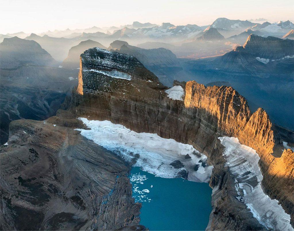
A distinctive feature of Apolobamba is the melting of the Apolobamba Cordillera, which feeds numerous ravines and rivers that ultimately flow into the Mapiri River, forming part of the Amazon Basin.

Within the protected area, different physiographic units can be identified, contributing to its landscape diversity:

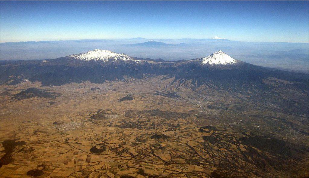
  1. Andean Zone: This zone encompasses the highest elevations of the area, with altitudes exceeding 5,000 meters above sea level. Here, you’ll find mighty snow-capped peaks, glaciers, and alpine landscapes.
  2. Sub-Andean Zone: Descending in altitude, this zone displays hills and mountain slopes, representing a transition between Andean heights and lower lands.
  3. Andean Foothills: In this physiographic unit, the topography gradually becomes gentler, giving way to broader hills and valleys.
  4. Alluvial Lake Plain: The alluvial plain extends in the lower areas, where rivers and streams have deposited sediments over time, creating flat and fertile lands.

This diversity of physiographic units contributes to the abundance of ecosystems and habitats, which in turn fosters the rich biodiversity found in this natural paradise of Bolivia.

Climate

There are different climate types due to the varied physiographic characteristics of the different regions that compose it.

In the higher parts of the protected area, the climate is cold with average annual temperatures around 4.5 °C. In the puna region, which is a high-altitude zone, an average of around 10 °C is maintained, while in the Yungas zone, found at lower altitudes, average annual temperatures reach around 26 °C.

The Apolobamba protected area has two operational weather stations that record average annual temperatures at two specific locations: Ulla Ulla, where an average of 12.2 °C has been recorded, and Charazani, where average annual temperatures are lower, reaching 5 °C.

Regarding precipitation, the mentioned stations record an annual average of approximately 343 mm in Charazani and 505 mm in Ulla Ulla. The months of highest precipitation are usually from December to February, while the driest months are between June and August.

These climatic variations contribute to the diversity of ecosystems and landscapes, from the snowy high peaks to the warmer Yungas valleys.

Hydrography

The park is nestled within the Amazon River’s macro-basin, meaning its hydrographic systems contribute to the flow of water into this significant Amazonian basin. Within the protected area, several hydrographic sub-basins can be identified, with the most notable being those of the Grande or Guapay, Mamorecillo, and Yapacanl rivers.

  1. Grande or Guapay River Sub-Basin: This river is one of the main tributaries originating in Apolobamba and significantly contributes to the flow of the Guapay River, which in turn is part of the Mamoré River system. The Grande River has a substantial course, traversing high mountain areas and valleys before joining other rivers that eventually form the Mamoré Basin.
  2. Mamorecillo River Sub-Basin: Also originating in the natural area, this is another tributary that contributes to the Mamoré River system. Its course is characterized by passing through mountainous areas and forming ravines and valleys that contribute to the runoff into the Mamoré Basin.
  3. Yapacanl River Sub-Basin: Another significant tributary originating within the park. Along its course, it also joins other rivers that eventually become part of the Mamoré Basin, one of the major Amazonian rivers.

These hydrographic sub-basins are fundamental for the balance and preservation of the Apolobamba ecosystem, as well as for maintaining biodiversity in the region.

Biodiversity

Ecoregions

The area is primarily encompassed by two important ecoregions: the Yungas ecoregion and the Northern Puna ecoregion. Additionally, it also presents elements of the Inter-Andean Dry Forests ecoregion in some dry valleys.

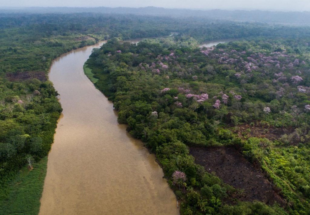
  1. Yungas Ecoregion: This ecoregion corresponds to very humid forests and is located in the central part of the protected area, extending from the northwest to the southeastern limit of the Apolobamba Natural Area. It covers the largest area within the protected area. Yungas forests are characterized by high humidity and diverse flora and fauna.
  2. Northern Puna Ecoregion: The Northern Puna ecoregion is composed of three sub-ecoregions: Humid Puna, Semi-Humid Puna, and Altoandean Vegetation of the Eastern Cordillera. These areas are found at higher altitudes and are dominated by grasslands, shrublands, and typical vegetation of the high Andean mountains.
  3. Elements of Dry Valley ecoregion of the Inter-Andean Dry Forests: In certain areas, elements of the Inter-Andean Dry Forests ecoregion can be found, which are characteristic of drier valleys with vegetation adapted to these conditions.

Flora

The Apolobamba Natural Area hosts an impressive floral diversity, with a total of 180 families, 735 genera, and 1,701 identified species. This botanical richness is due to the presence of various ecological zones in the area, each with its own unique climatic and environmental conditions.

In the eastern part of the range, classified as the Biogeographic Province of the Yungas, you’ll find very humid forests with a wide variety of plant species. In contrast, on the western slope of the range, corresponding to the Biogeographic Province of the Peruvian Puna, lies the Puna Altoandina, dominated by short grass steppe, featuring species such as Aciachne pulvinada, Deyeuxia vicunarum, Stipa hans-meyeri, and many other low-level herbs.

An important component of the Puna Altoandina are the bofedales, which are natural evergreen grasslands with permanently moist soils, suitable for domestic and wild camelid grazing. This area features distinctive vegetation with species like Oxychloe andina, Festuca dolichophylla, Gentiana sedifolia, among others.

In the headwaters of valleys and in the paramo, it’s possible to find low forests of Polylepis lanata, Polylepis pepei, and Polylepis besseri, which are queñua species associated with high-level herbaceous vegetation composed mainly of grasslands and shrublands.

The paramo, also known as yungueño, boasts high floral diversity due to its topographical variations, high rainfall, constant humidity, and low temperatures.

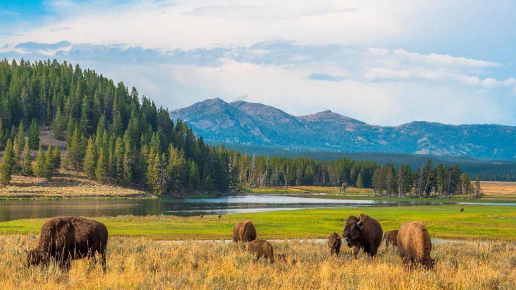
These ecosystems and their floral diversity hold great economic, social, cultural, geopolitical, and ecological importance. They provide the dietary foundation for breeding alpacas, llamas, and also serve as habitats for a diversity of fauna, including the vicuña and a variety of birds.

Wildlife

The region’s fauna is represented by a combination of species from the Andean, Yungas, and Amazonian zones. These characteristics make the region particularly interesting for the interpretation and study of evolutionary and biogeographic processes, turning it into an area of great conservation relevance as it represents the distribution limit of many animal species.

In the area, a total of 613 vertebrate species have been recorded, including the following:

  • Mammals: 90 mammal species have been recorded, highlighting the richness and diversity of the Natural and Integrated Management Area. Among the present species are animals such as the highland pacarana (Cuniculus taczanowski) and the white-tailed deer (Odocoileus virginianus), which are species of particular importance due to their presence at the limit of their geographic distribution.
  • Birds: With a record of 508 species, birds are especially diverse. The presence of different habitats, from lowlands to high mountains, provides ideal conditions for a wide variety of avifauna, making this region a paradise for birdwatchers and ornithological studies.
  • Reptiles and Amphibians: 11 reptile and amphibian species have been recorded. Although the number is smaller compared to other groups, it remains an important component of the area’s biodiversity.
  • Fish: 4 fish species have been recorded.

Attractions and Tourist Activities

Apolobamba Mountain Range

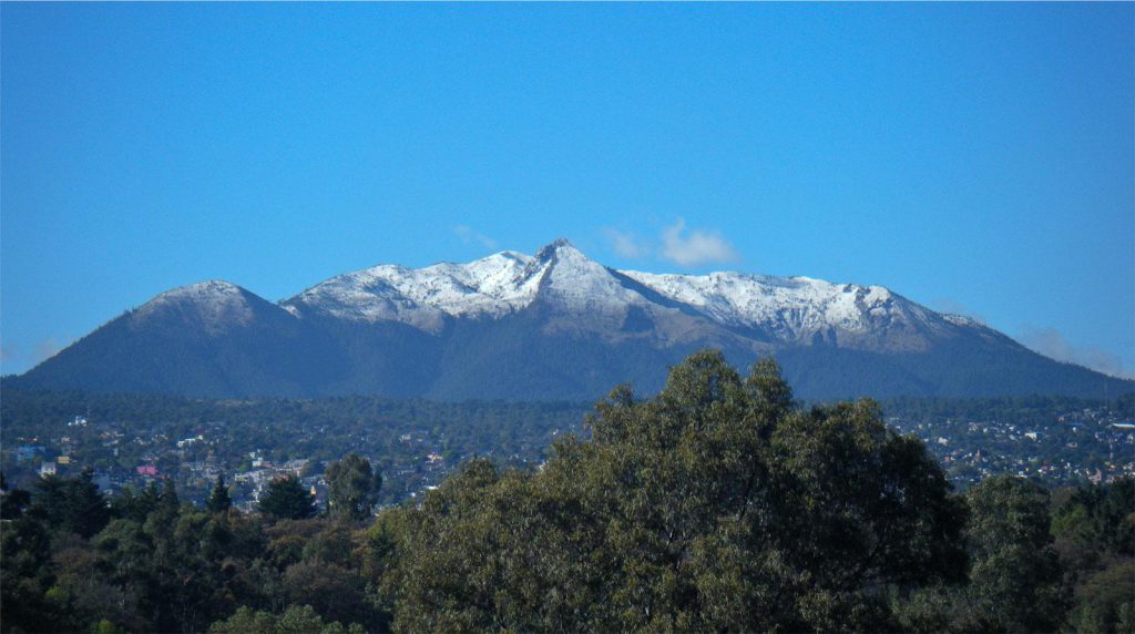
The majestic Apolobamba Mountain Range is one of the main attractions of the Apolobamba Natural Area. With elevations ranging from 800 meters above sea level to the impressive 6,200 meters, this range offers landscapes of extraordinary beauty, including snow-capped peaks, deep valleys, and lush tropical jungles. It’s a paradise for nature and adventure enthusiasts.

Curva and Charazani

The towns of Curva and Charazani, located within the Natural Area, offer a glimpse into local culture and traditions. Visitors can explore cobbled streets, interact with indigenous communities, and learn about their customs. Additionally, these areas serve as starting points for various tourist activities and excursions in the region.

Pelechuco

Pelechuco, another community situated within the protected area, is an essential destination for those seeking authentic experiences. With its rural charm and beautiful Andean landscapes, Pelechuco provides an opportunity to immerse oneself in the daily life of local communities and enjoy the tranquility of nature.

Charazani Hot Springs

The Charazani hot springs are a true natural gem. Surrounded by stunning scenery, these warm and healing waters offer a relaxing thermal bath after a day of exploration in the region. It’s an ideal place to enjoy tranquility and rejuvenate the body and mind.

Curva – Pelechuco Trekking Route

This exciting trekking route is an unforgettable experience for nature and adventure enthusiasts. Crossing part of the Apolobamba mountain range at an average altitude of 4,000 meters above sea level, the route offers the possibility to marvel at the Andean landscape and discover the unique flora and fauna of the region. Recently, two lodges have been established, in Lagunillas (Curva) and Aguas Blancas (Pelechuco), to facilitate and enrich the experience of hikers on this fascinating journey.

Local Culture and Human Interaction

Indigenous Communities and their Relationship with the Park

Local indigenous communities have lived in harmony with nature for centuries and are an integral part of the park’s identity. Some of the historically inhabited indigenous communities or peoples include the Kallawayas, known for their tradition in ancestral medicine and the use of medicinal plants, and the Aymaras, an indigenous people inhabiting the Andes of Bolivia and neighboring countries. Their ancestral knowledge of sustainable natural resource use and cultural practices are crucial for the conservation of the protected area.

Conservation

Conservation Challenges and Current Threats

The park faces several conservation challenges, including climate change, deforestation, and poaching.

Conservation and Recovery Initiatives

There are several ongoing initiatives to protect and restore the park’s ecosystem and promote sustainable tourism.

Planning Your Visit

Best Time to Visit

The best time to visit the natural area is during the dry season, between May and September.

How to Reach Apolobamba Natural Area

To reach the Apolobamba Natural Area, there are two main routes you can take by land from the city of La Paz:

  1. Route La Paz – Huarina – Achacachi – Escoma – Apolobamba Natural Area: This route will take you through the towns of Huarina, Achacachi, and Escoma before reaching the park. From Escoma, you’ll have access to several municipalities within the protected area, such as Suchez, Pelechuco, Charazani, Antaquilla, among others.
  2. Route La Paz – Caranavi – Guanay – Mapiri – Apolobamba Natural Area: The second route will take you from La Paz to Caranavi and then to Guanay and Mapiri, where you can access the park.

Both routes offer impressive landscapes and allow you to explore different areas of the region before reaching the beautiful Apolobamba. It’s important to ensure you have a suitable vehicle for the road conditions and consider the distance and travel time, as some of the roads may be steep and unpaved in parts. We recommend checking the road conditions and planning your trip well in advance for a safe and enjoyable experience.

Accommodations and Lodging Near the Park

Service Location Category
Hotel Establishments (Lodges, Guesthouses, Hotels) Pelechuco 1 Llajtaymanta Hotel
3 Lodges
Antaquilla 1 Lodge
Charazani 2 Hotels
2 Hostels
2 Guesthouses
3 Lodges
Amarete 2 Lodges
Community Hostels Pacha Trek Route 1 Qutapamapa Hostel
1 Kaluyo Hostel
1 Chacarapi Hostel
1 Chari Hostel
Caata* 1 Condor Wasi Hostel
Curva 1 Lagunillas Hostel
Canizaya 1 Canizaya Hostel
Agua Blanca 1 Cerro Presidente Hostel
Pelechuco* 1 Pelechuco Hostel
Hilo Hilo* 1 Hilo Hilo Hostel

(*) Subject to change depending on the season.

Recommendations for a Responsible and Safe Visit

Remember to bring enough water and sunscreen, and always follow the "Leave No Trace" guidelines.

Rules and Regulations for Visitors

It’s important to respect the park’s rules to ensure the conservation of its biodiversity and the quality of the experience for all visitors.

Photo Gallery