Welcome to Global National Parks! The worldwide network of national parks. Discover protected areas, biosphere reserves, and internationally important wetlands. Our goal is to conserve and promote travel and exploration of national parks around the world, to uncover their incredible beauty and the valuable natural resources they protect.
If you want to learn more about Global National Parks, we invite you to explore our organization and its conservation mission. We work collaboratively with various stakeholders to preserve the biological and cultural diversity of national parks.
Top National Parks in the World
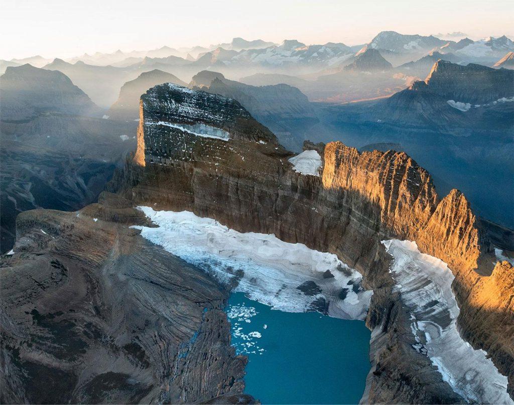
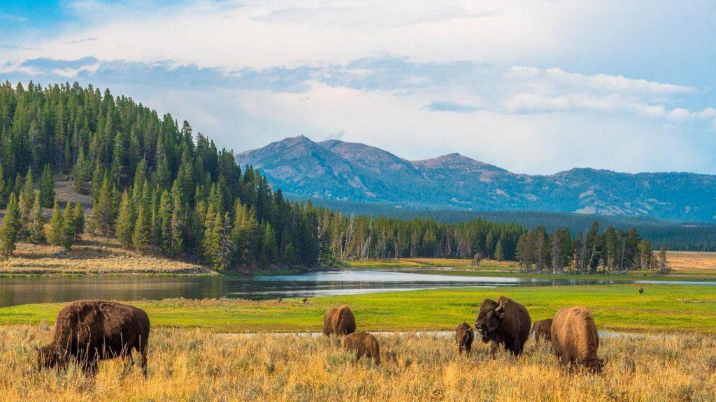
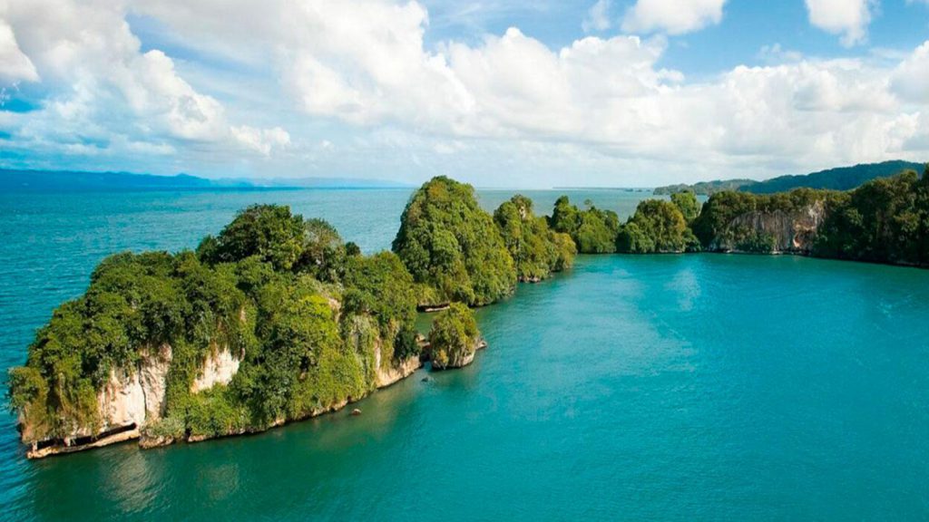
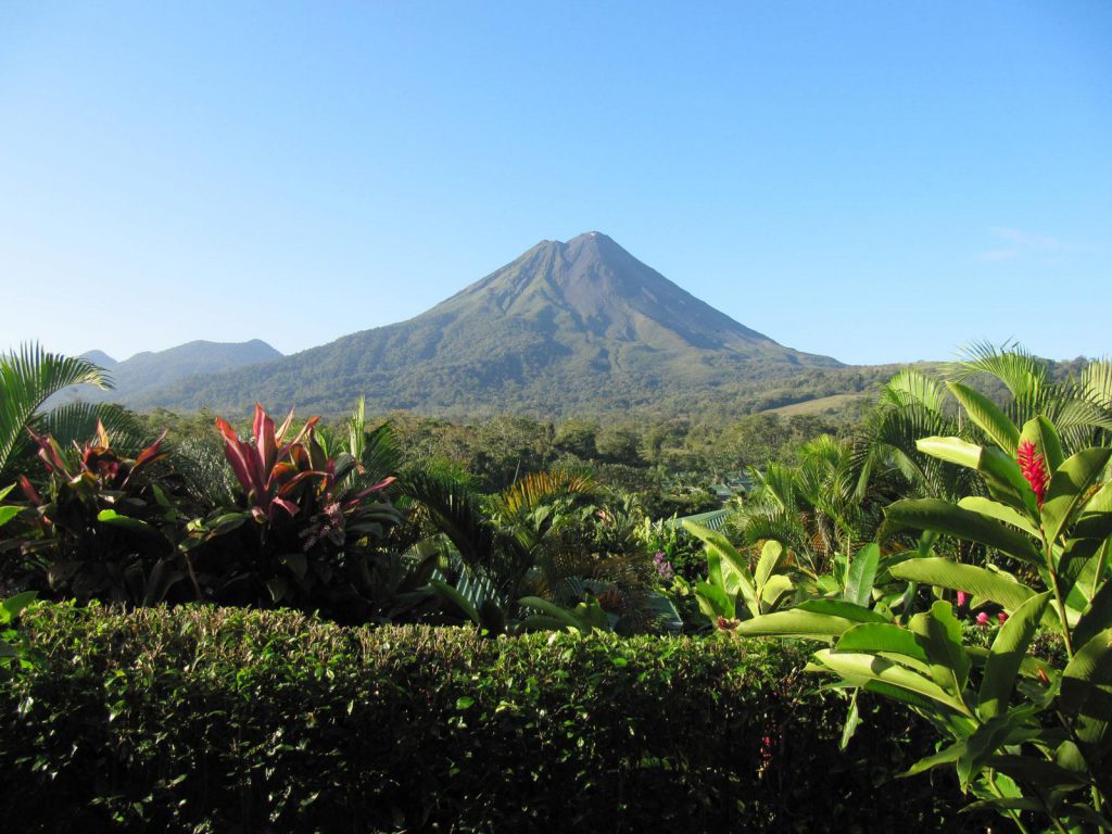
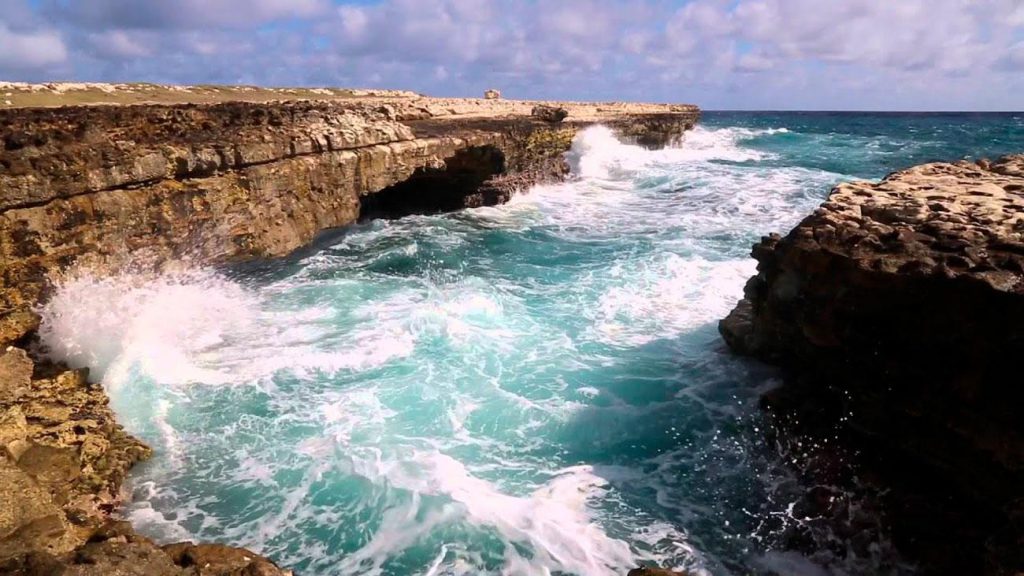
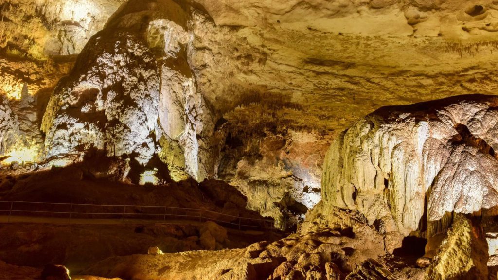
Explore our selection of the 12 best national parks in the world! Immerse yourself in the natural beauty and discover the stunning diversity that each of these destinations has to offer. These parks are true conservation treasures and are carefully chosen based on their ecological significance and historical and cultural value. Plan your next adventure and be amazed by the majesty of these incredible national parks.

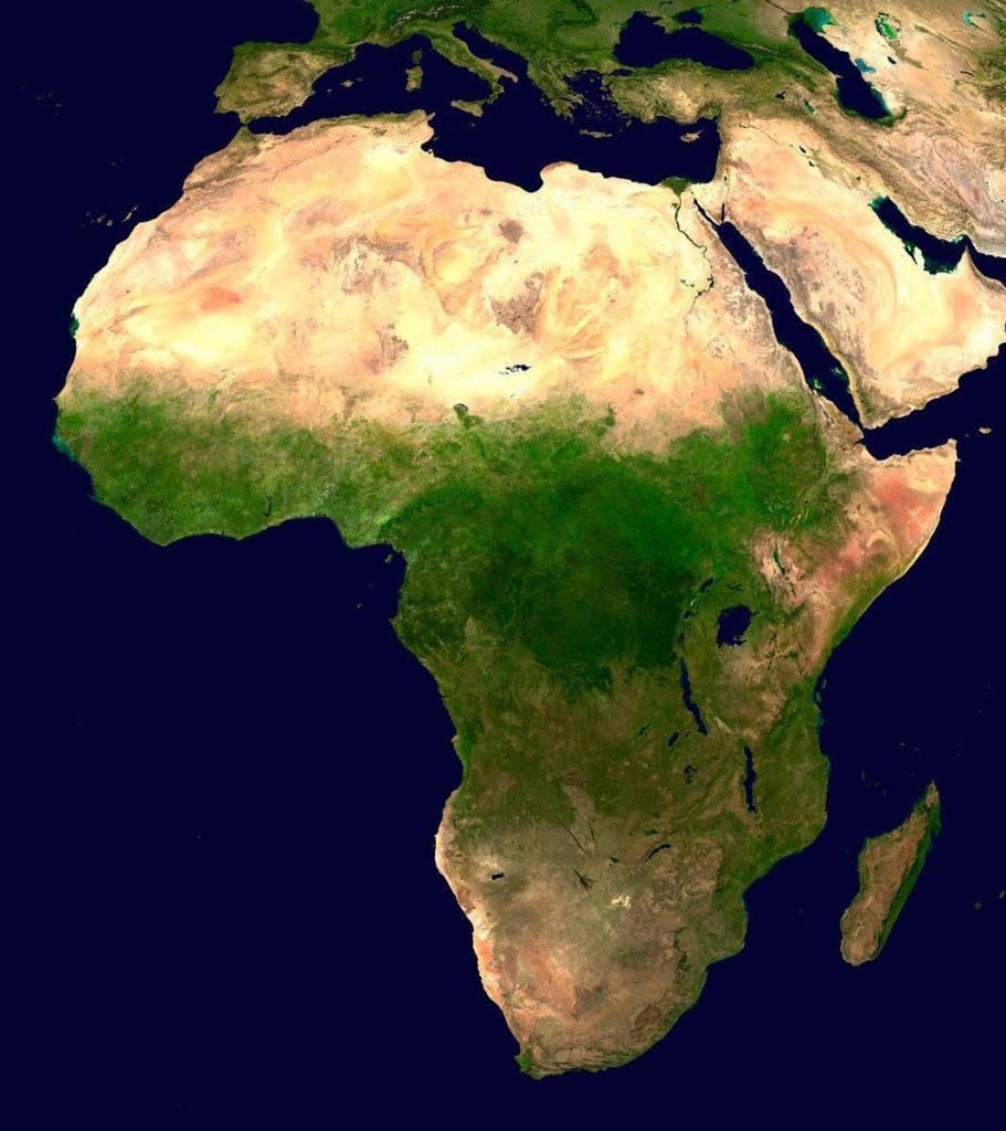
National Parks by Continent and Country
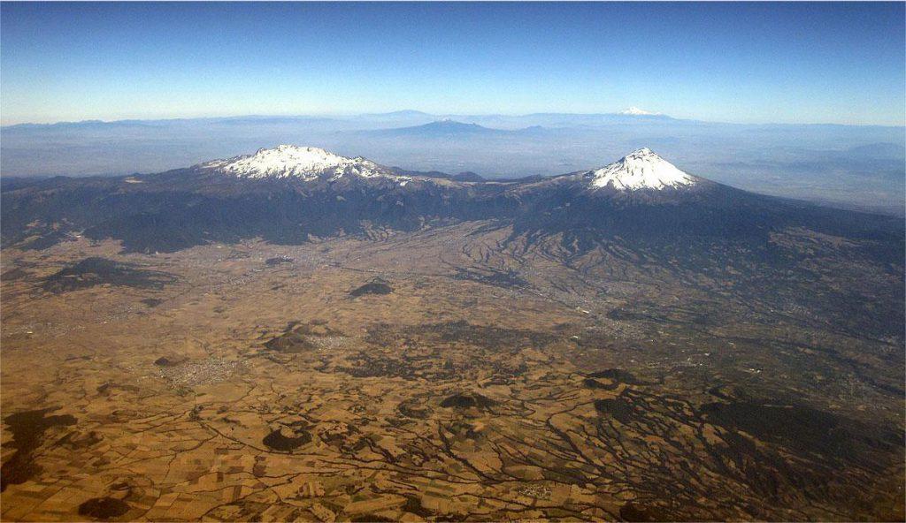
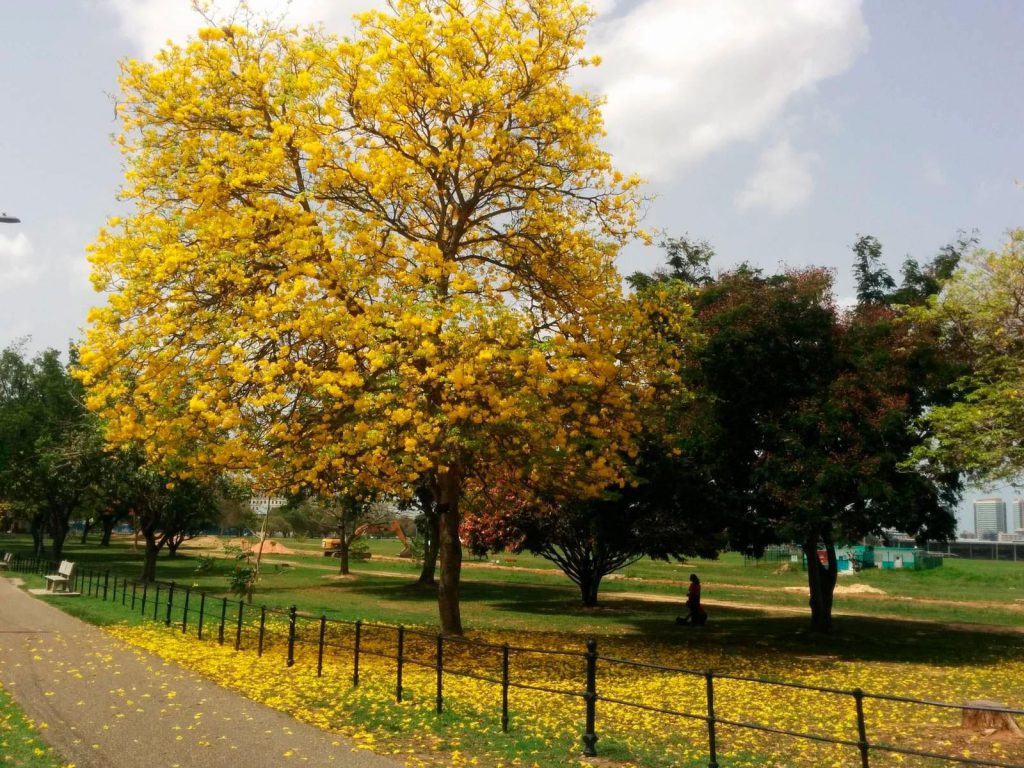
Discover the stunning National Parks featured on each continent. Navigate through our continental links and explore the parks located in each region with our Featured List. Immerse yourself in the natural beauty and wonders of these iconic destinations.
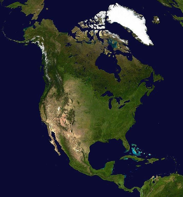
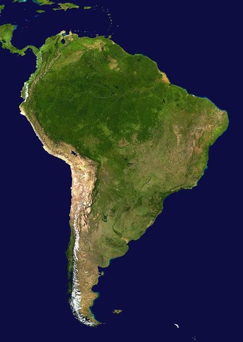
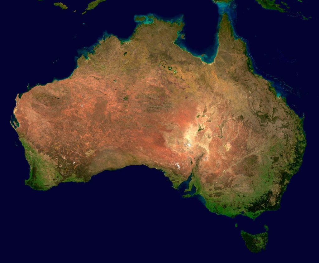
Continents


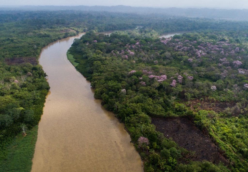
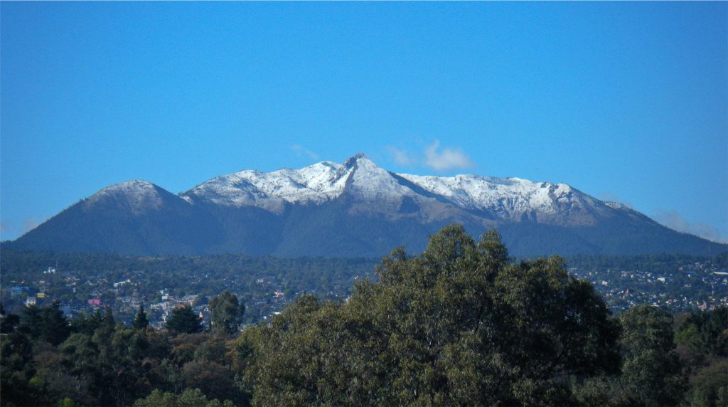
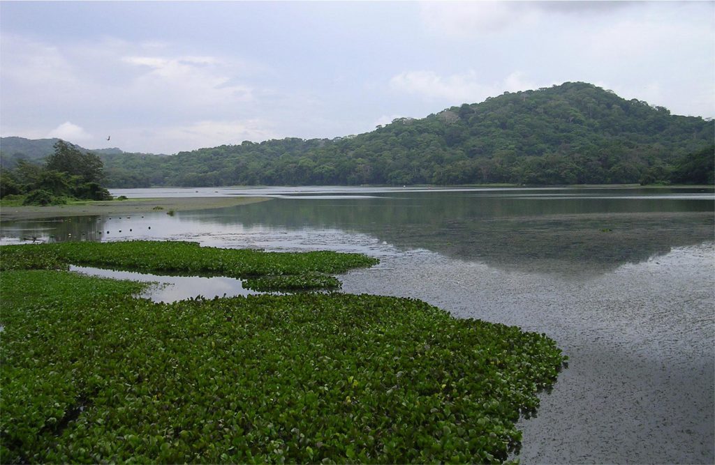
Travel around the world and discover the most visited ecotourism destinations. Immerse yourself in nature and explore the wildlife, flora, and local culture of the world’s national parks.